Andrea Reid
Interactive resume
About Me
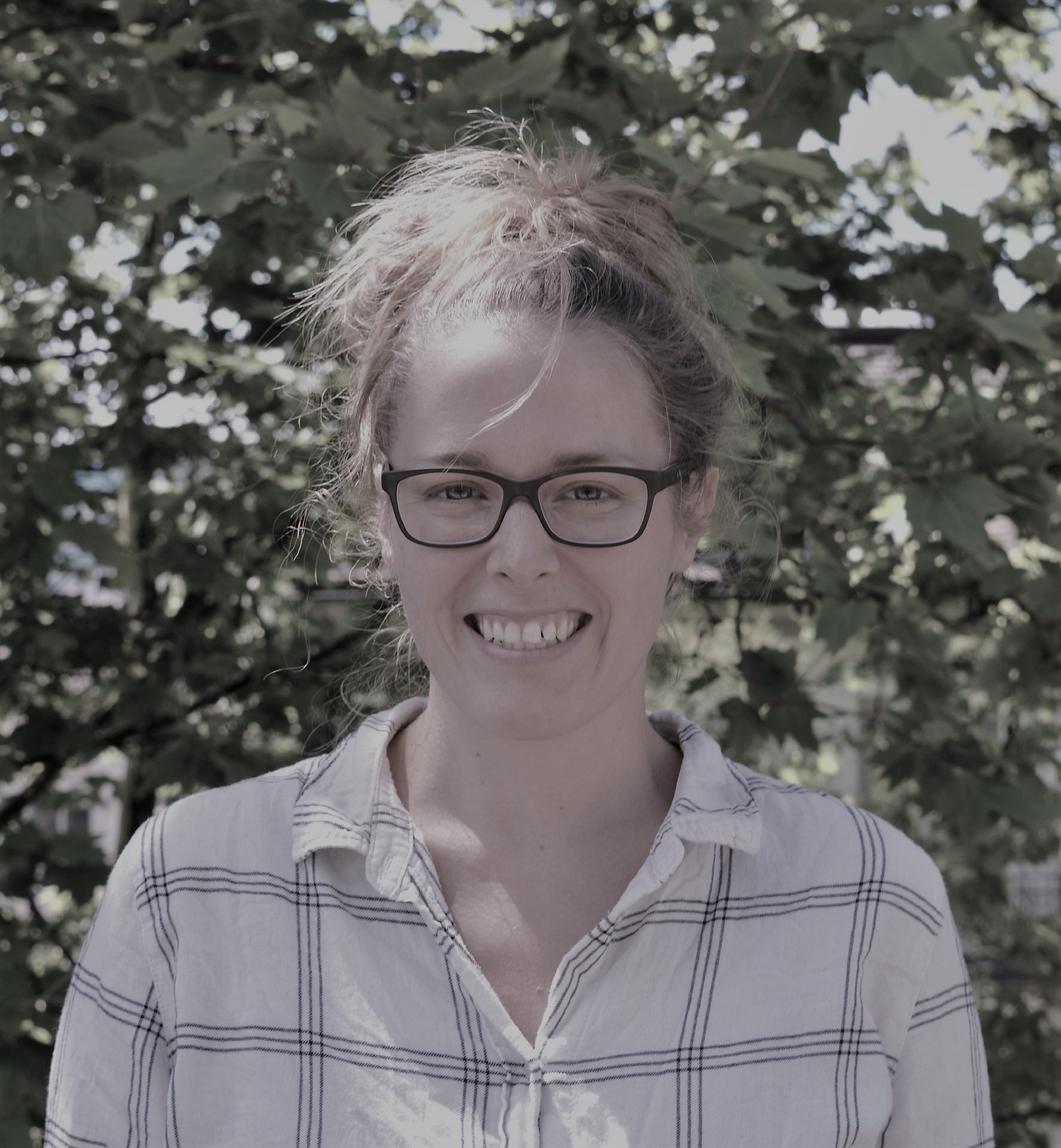
I work with geospatial data, including LiDAR, satellite, and UAV imagery, to develop innovative solutions for environmental challenges. By leveraging advances in AI-based technologies, including powerful foundation vision models, I create accurate, scalable methods for detecting, quantifying, and mapping environmental features from complex geospatial data.
Research Pitch
Check out this 3 minute pitch on how 3D city modeling and AI can be used to scale up flood risk assessments using multi-source and multi-angle geospatial data. For a better viewing experience, click here to open the YouTube video in another window.
Projects
Urban Flood Risk and Digital Twins
The main focus of my graduate studies at UNB is on the creation of 3D city models for improving flood risk assessment in cities. This work involves a novel approach to using multi-source geospatial data for creating 3D building representations. A major challenge to understanding flood risk of buildings is the development of a comprehensive database that includes flood relevant features, such as first floor elevation. To obtain this information at scale, we can extract it automatically from a variety of geospatial data sources (e.g., airborne LiDAR, orthoimagery, and street-level mobile mapping data) using Artificial Intelligence (AI). Check out my poster for a more detailed overview of the project, or click here to view the poster to its full extent.
Big Data Pipeline
For our final project in the course "Big Data Pipeline", my team and I used AI to predict economic trends during the pandemic from a large time-series dataset. The project deviates from my main interest in geospatial data, but it demonstrates my competency in data science workflows and applying appropriate machine learning algorithms to solve big data problems. Click here to read the final report and see how we were able to use deep learning to predict economic activity from COVID-19 case counts.
GIS Program StoryMap
For an overview of the projects I completed for my one-year GIS specialist program at Fleming College, check out the StoryMap here.
Education
Graduate Program, Geodesy and Geomatics Engineering, University of New Brunswick
Topic: Geospatial data for timely and accurate post-flood damage assessment of buildings.
GIS Specialist Certificate, Fleming College
Topic: Rooftop solar potential using airborne LiDAR.
Master of Environmental Sciences, ETH Zurich
Major: Ecology and Evolution
Bachelor of Science, University of Guelph
Major: Marine and Freshwater Biology
Work Experience
University of New Brunswick
New Brunswick, Canada
Teaching Assistant, Geodesy and Geomatics
Intro to GIS: Develop and lead computer lab tutorials for the undergraduate course 'Introduction to Geographic Information Systems' using Esri software (ArcGIS Pro). Assist students with analytic and technical software functionality and help troubleshoot software-related issues. Grade assignments.
Intro to Big Data: Develop and lead introductory tutorials for python programming. Help students with technical issues related to the big data pipeline: data access, data storage, data exploration/visualization, and machine learning. Grade assignments and video submissions.
ETH Zurich
Zurich, Switzerland
Project Manager, Molecular Lab
Development and implementation of genotyping methodologies for understanding the eco-evolutionary trends of different plant study systems. Highlighted projects include: spread of an invasive plant species in the Swiss Alps, species competition and evolution in experimental duckweed communities, and spread of an invasive species to islands in Greece.
World Wildlife Fund (WWF)
Bellinzona, Switzerland
Communications Intern
Produced communications material on the status of the WWF European Alpine Programme's conservation activities in the Alps.
University of Zurich
Switzerland and Spain
Scientific Assistant
A short employment opportunity following the completion of my MSc thesis to continue conducting research on the genetic diversity of a rare plant species in the Canary Islands.
University of Guelph
Canada and Ecuador
Research Assistant
Conducted vegetation surveys for a study on the effects of forest management on biodiversity. Collected leaf material from a tree species in Ecuador to help characterise genetic diversity within and between populations.